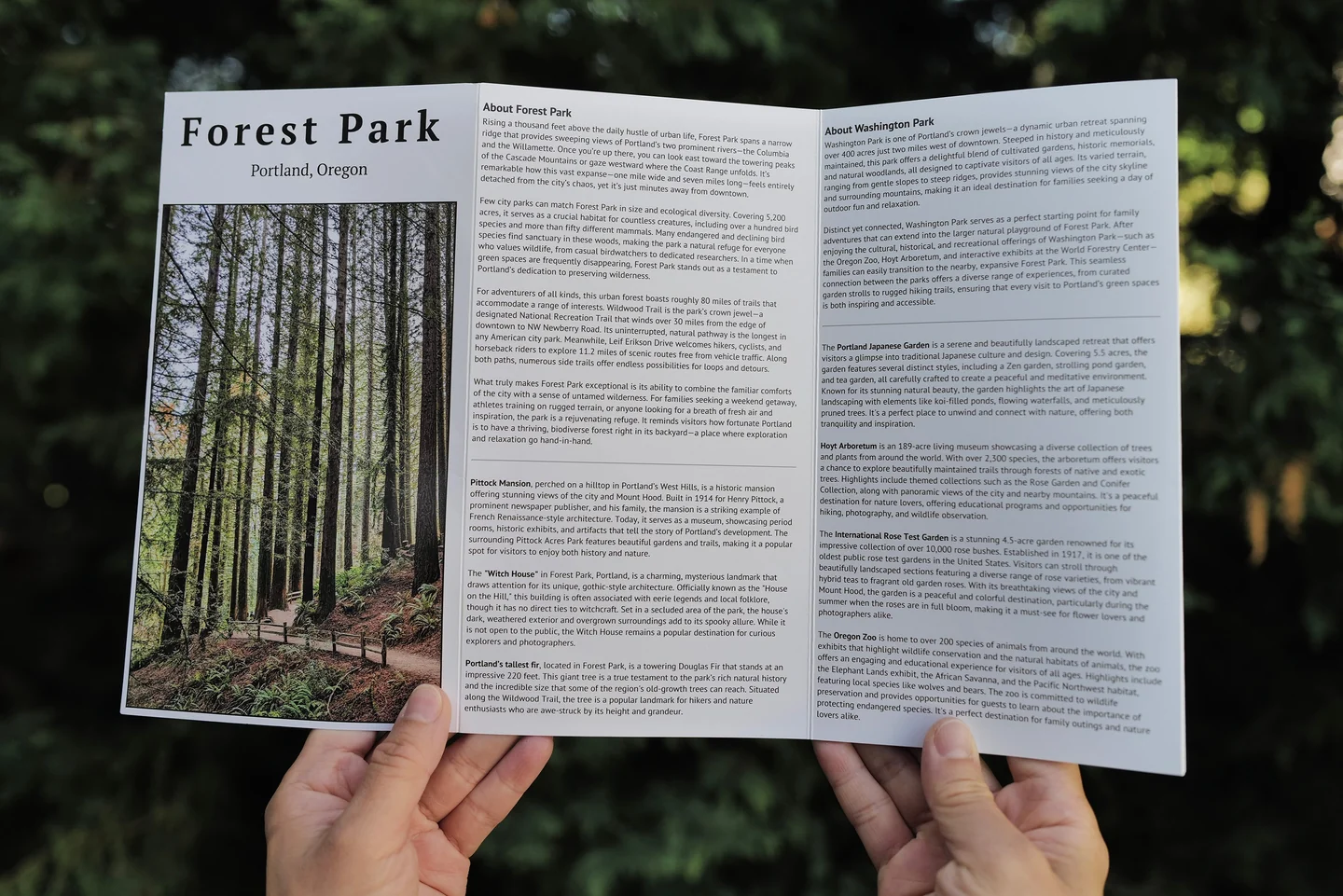
Forest Park Pocket Map
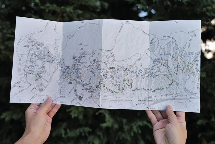
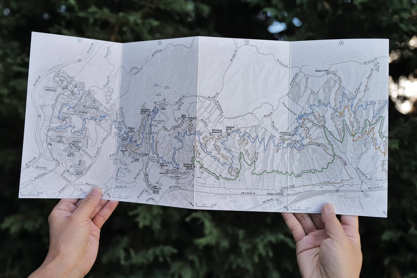
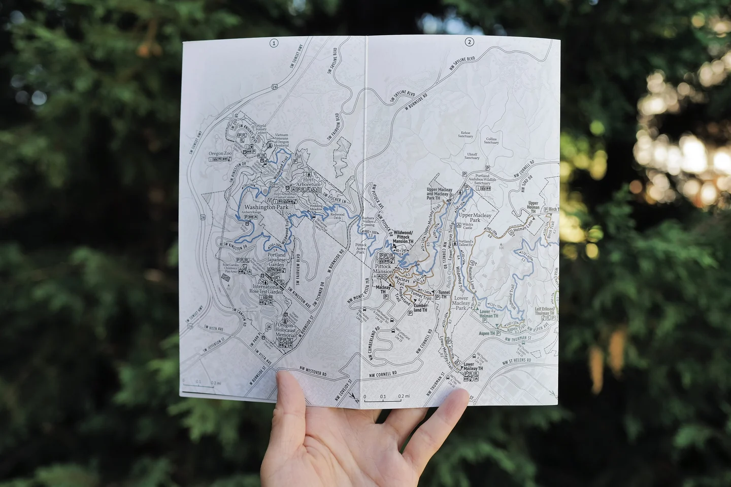
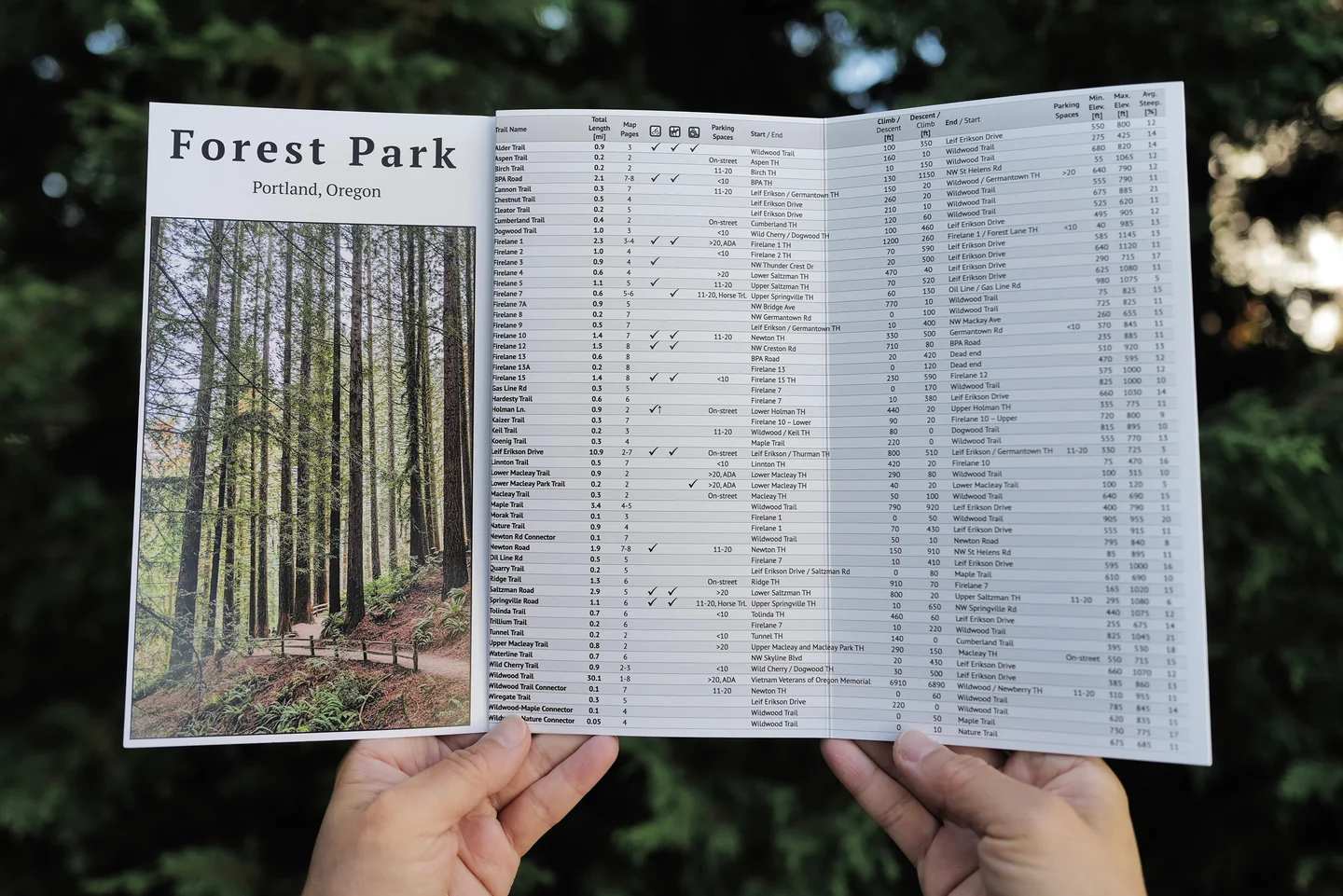
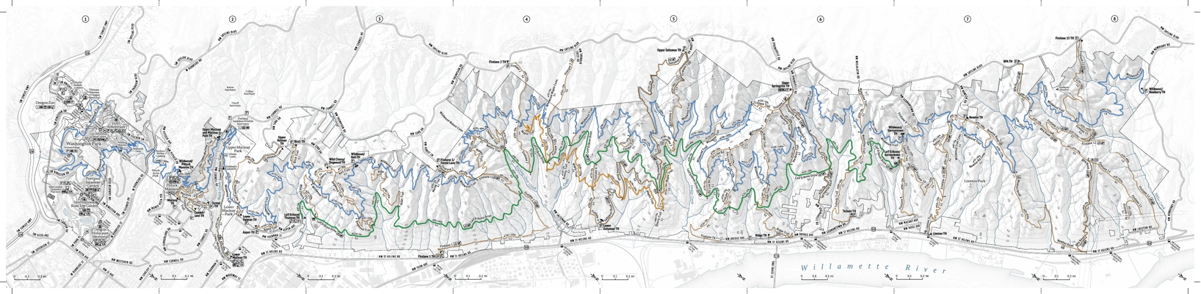
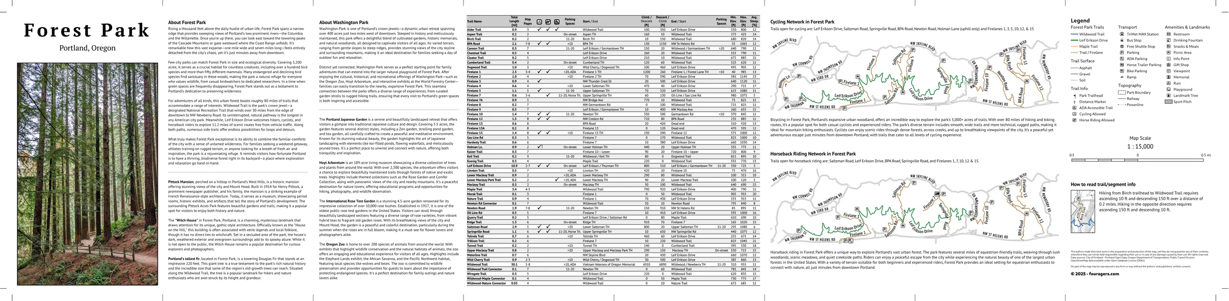
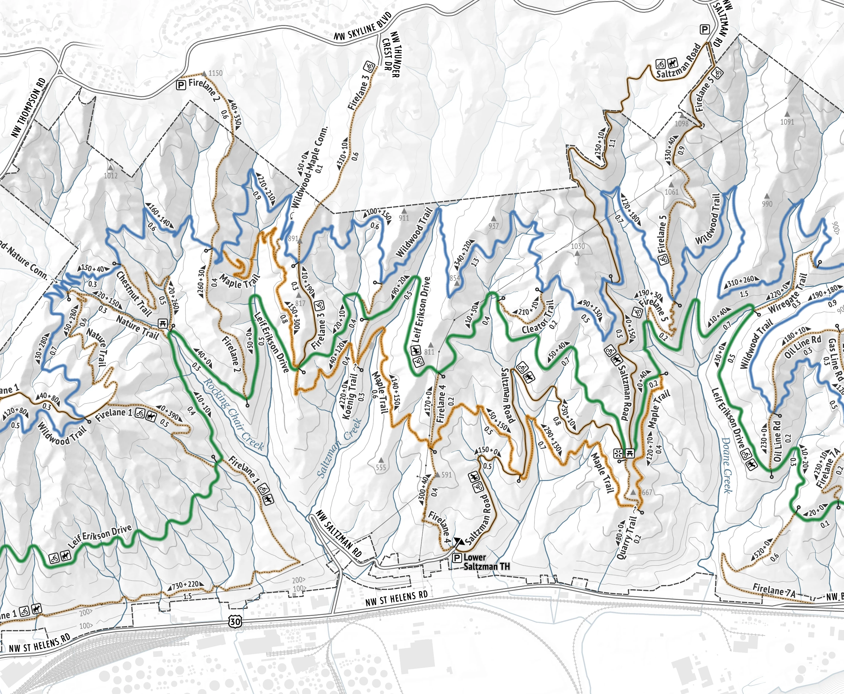
An eight-panel accordion field map for the walk itself: a continuous topographic trail map from Washington Park through Forest Park, with a trail index and park notes on the reverse.
- Accordion fold
- Eight panels
- Coverage
- Washington + Forest Park
- Reverse
- Trail index + field notes
Carry the field map
An eight-panel accordion map made to travel from the trailhead into the trees, then open into the larger shape of the park when you need it. Forest Park is a network, not a single line; this keeps the connections in hand.
Read the route
Named trails, fire lanes, roads, contours, trailheads, parking, transit, and directional climb and descent stay with the route instead of hiding in a separate list.
Choose what comes next
On the reverse, a trail index, park notes, cycling and horseback guidance, plus the symbol key answer the small questions before they become a junction-side committee meeting.
The details come with you
Follow distance, climbing, connections, and access on the map face. Turn it over for the trail index, park notes, cycling and horseback guidance, and symbol key.
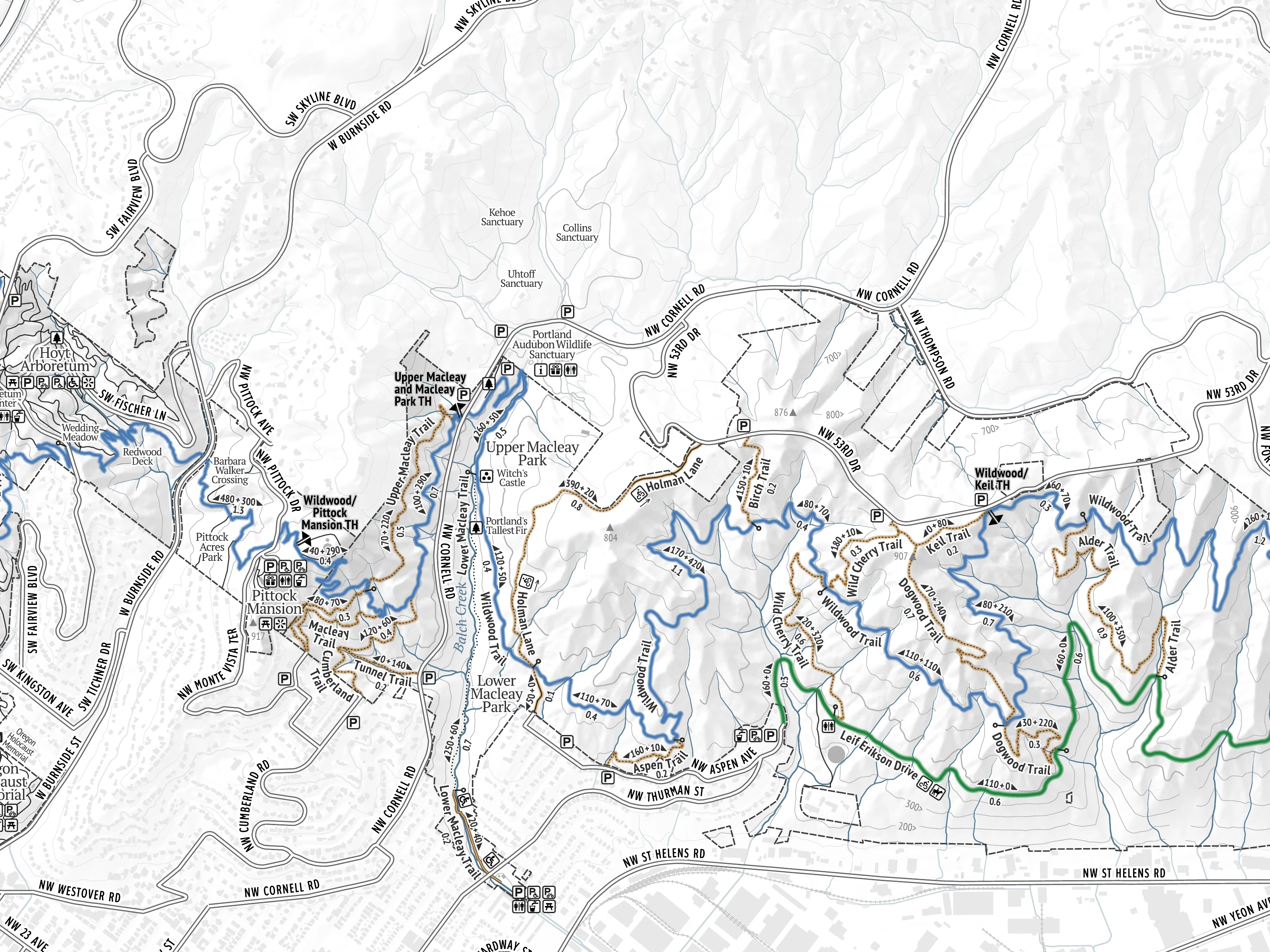
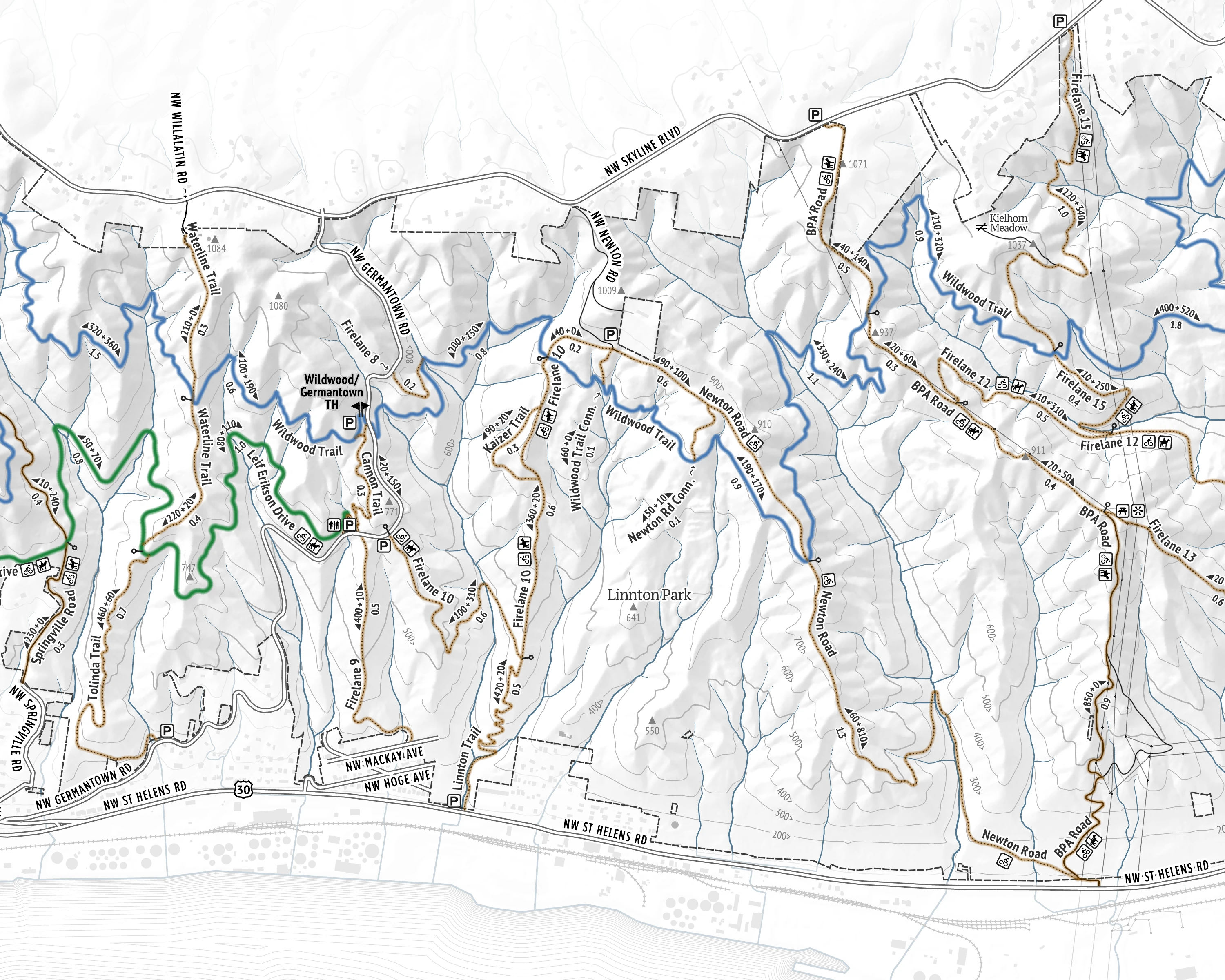
Size the outing Match route distance and climbing to the time—and legs—you have today.

See the park whole. Carry the next turn.
The wall map is the home base
The Pocket Adventure Map goes into the park; the wall-scale print keeps the whole connected park visible at home. Same cartographic system, different jobs: choose from the room, orient under the trees.