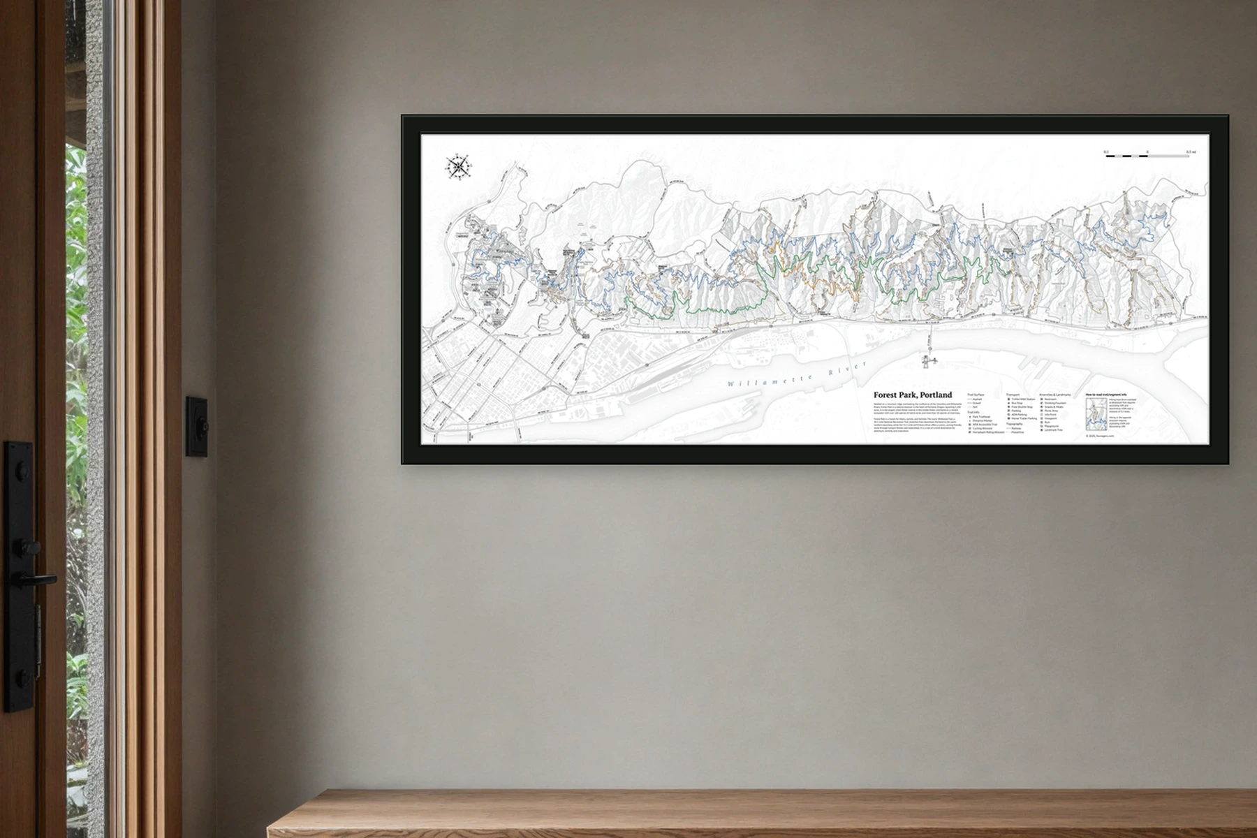
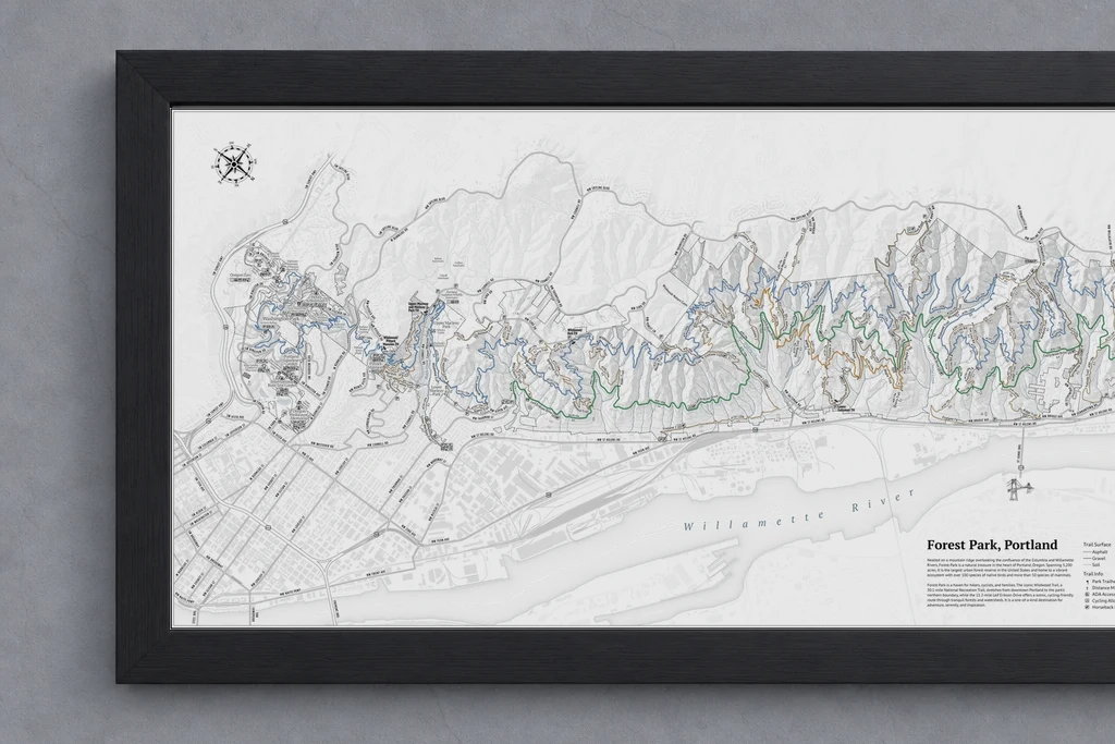
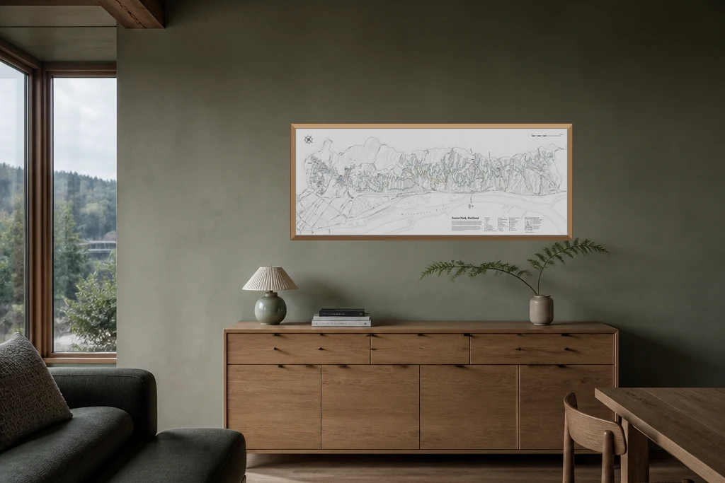
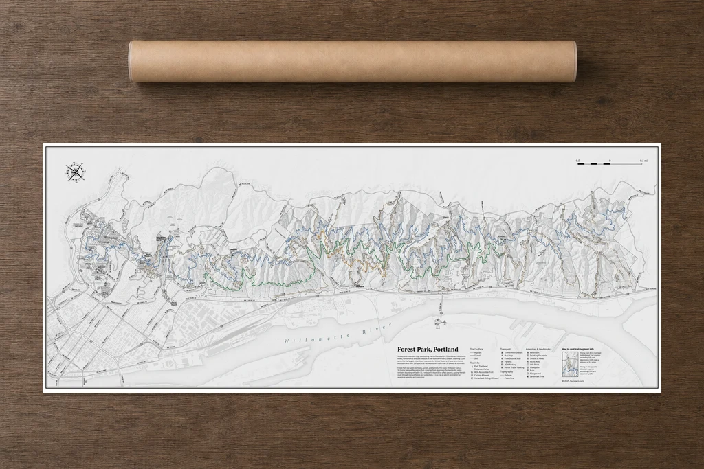
Forest Park Wall Map
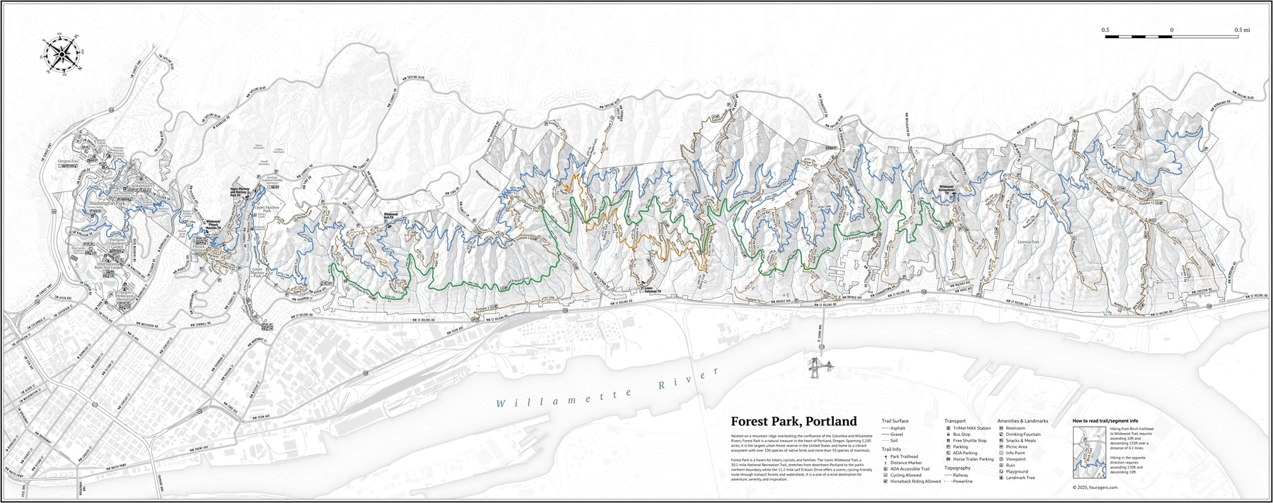
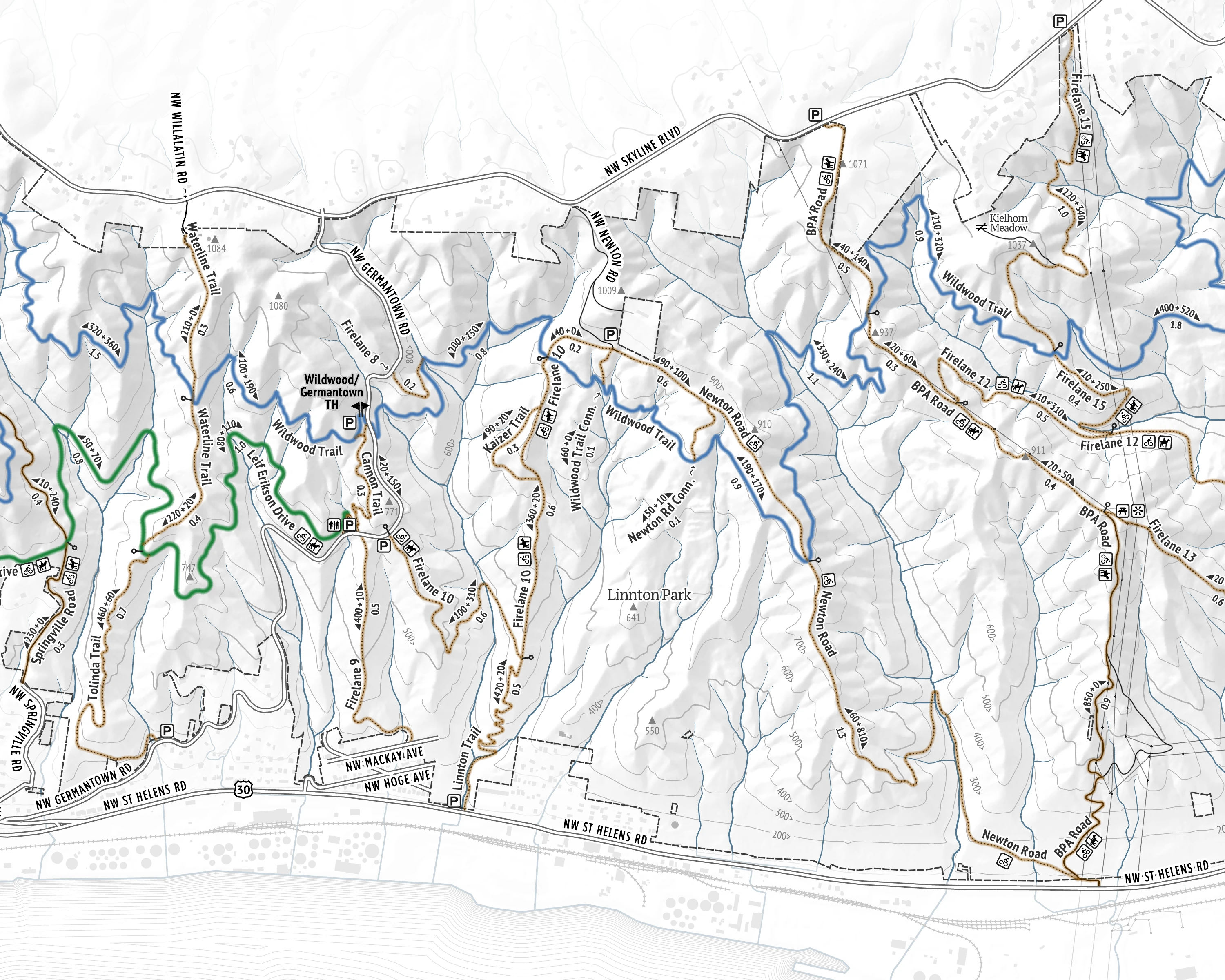
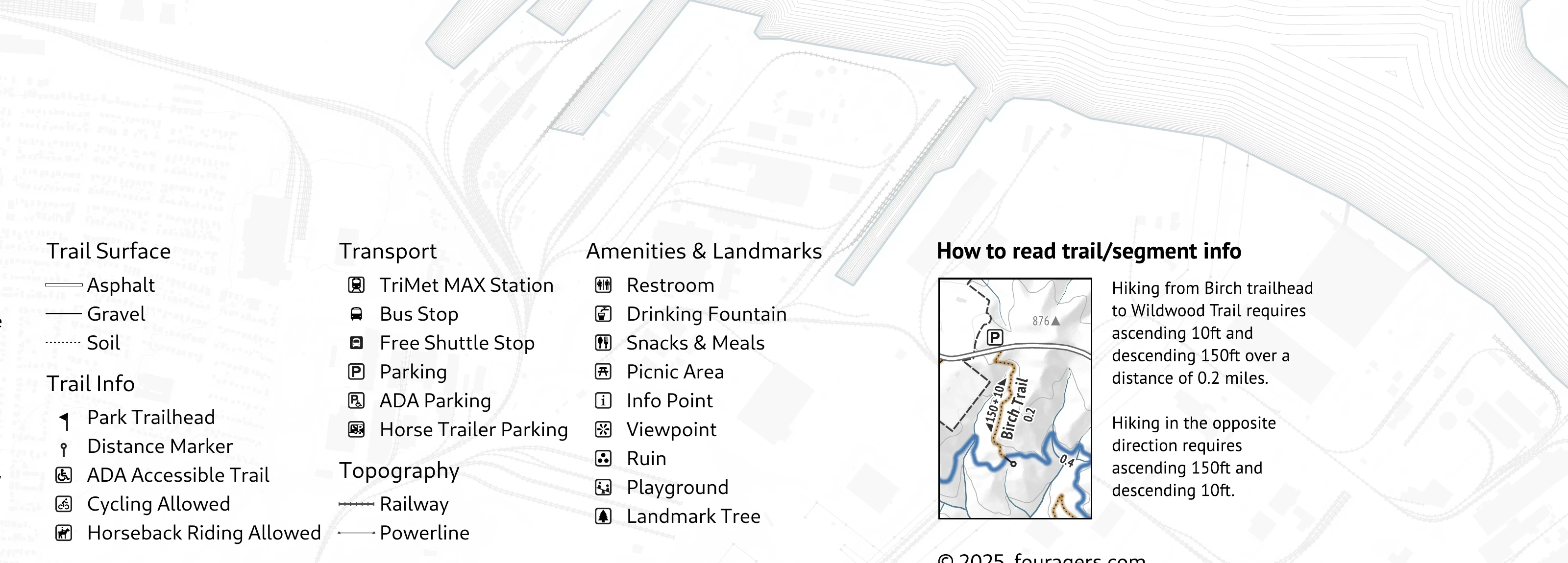
The whole connected trail network at wall scale—with route distances, elevation, trailheads, parking, access, and amenities.
- Wall-scale
- 42 × 17 in
- Fine-art stock
- 250 gsm cotton rag
- Frame your way
- Unframed · rolled
A Portrait of Forest Park
Across the room, it reads as a portrait of the park. Between outings, it keeps the whole place—and the possibilities—in view.
Plan a Forest Park Day
Start with the day you have, then trace a route that fits it. Follow trails, fire lanes, and roads to compare options before you leave.
A Map Worth Hanging
Printed on 250 gsm cotton-rag fine-art stock, it earns its wall space between outings—and makes a practical gift for someone who knows the park.
The details are the point
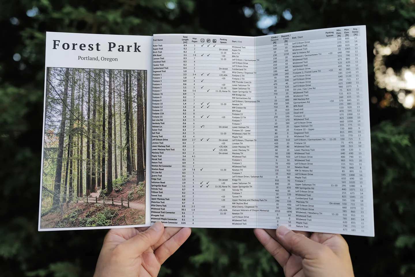
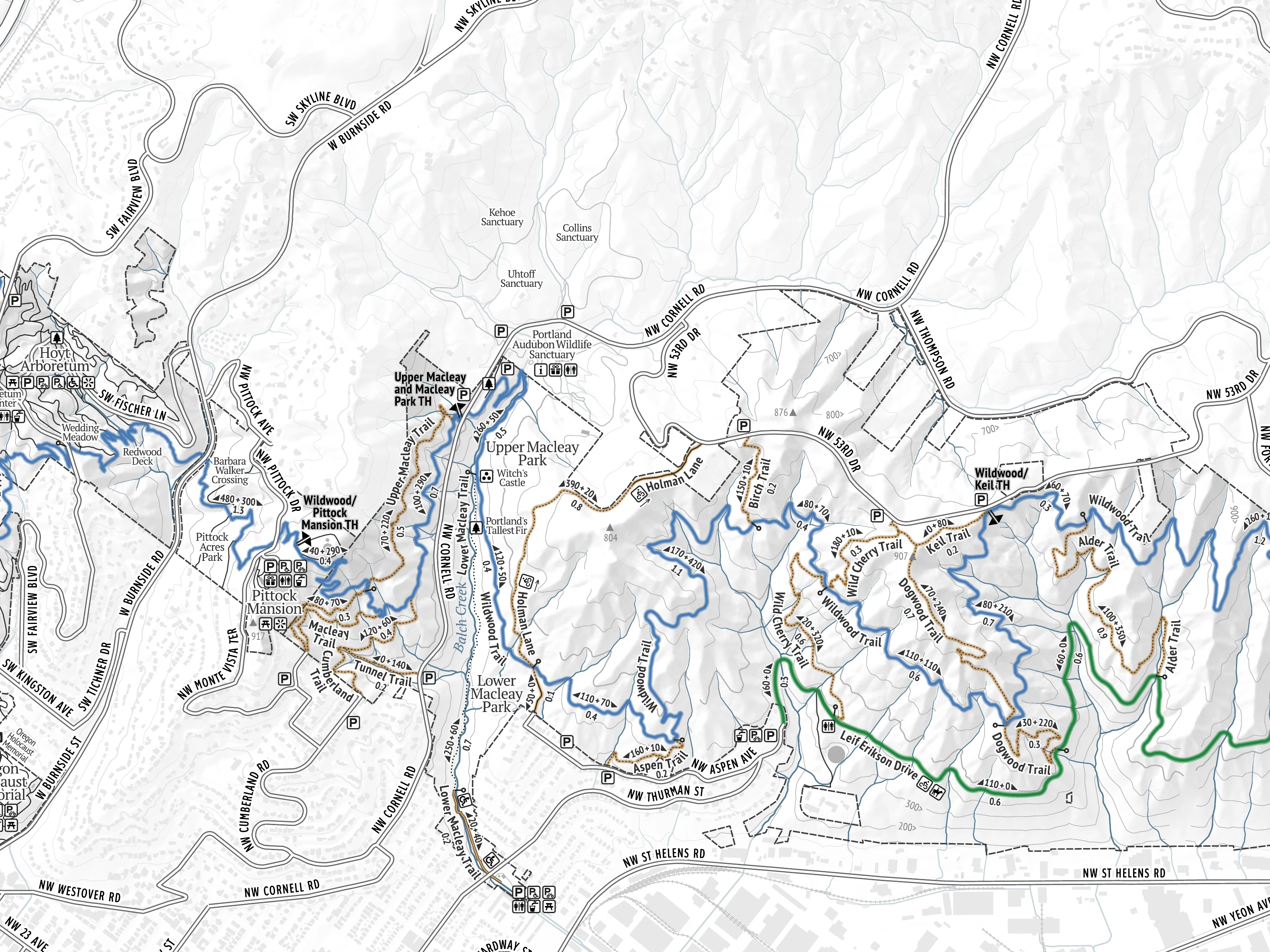
A wall-scale view is useful; one you can read at arm’s length is better. Follow a connection, size the outing, and find a workable place to start.
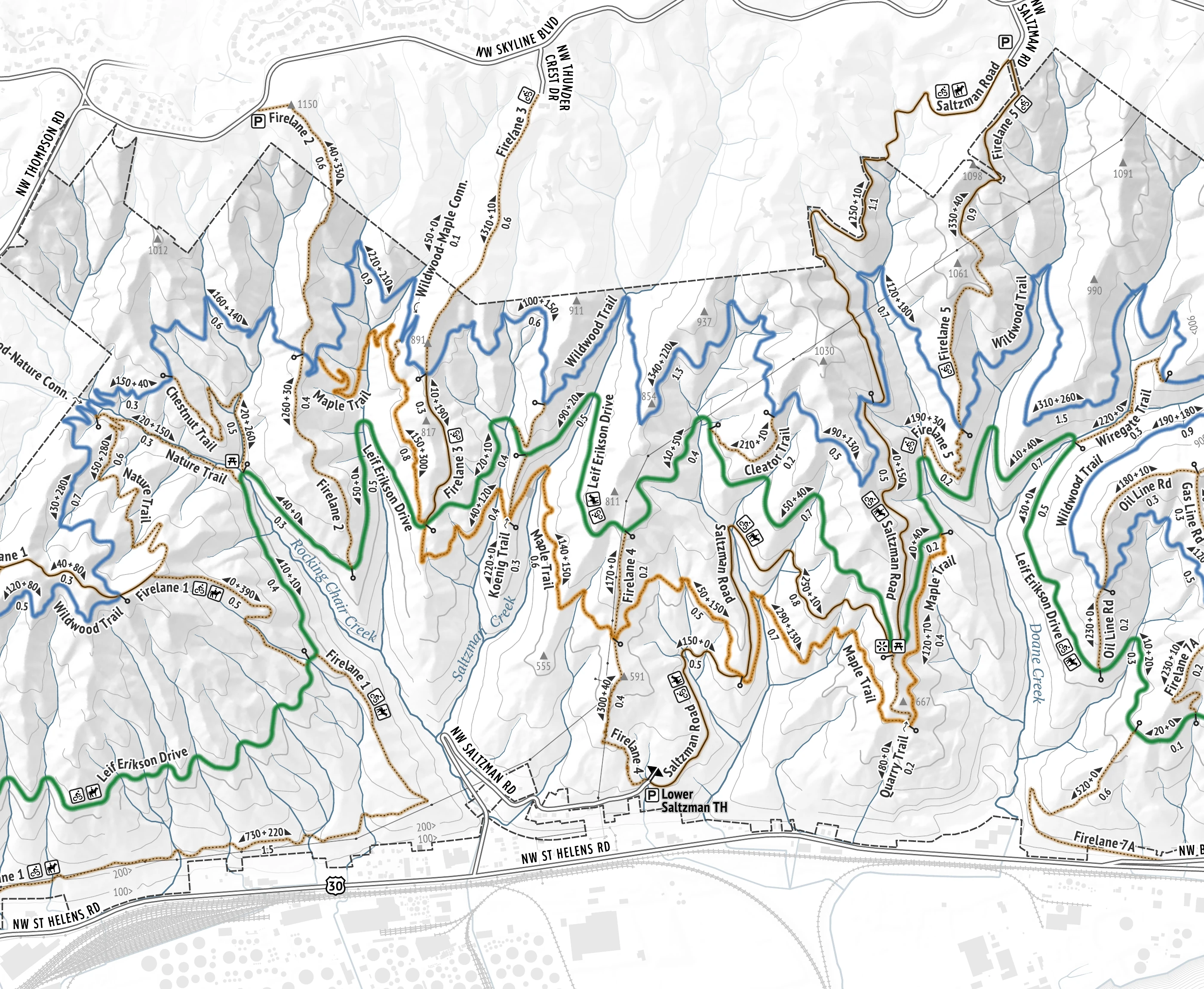
Size the outing Match route distance and climbing to the time—and legs—you have today.
Ready to get outside?
Pocket Trail Map
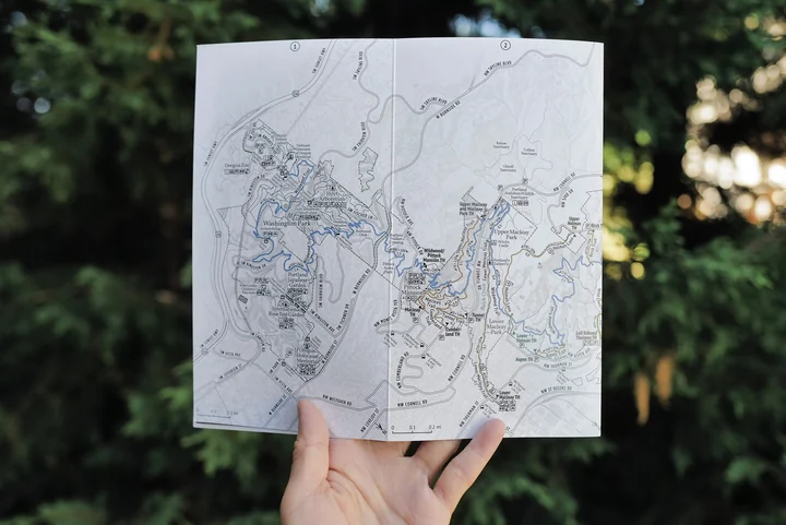
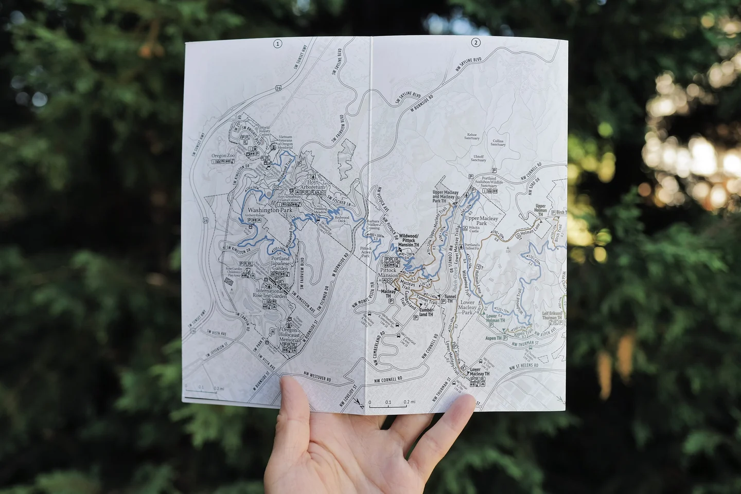
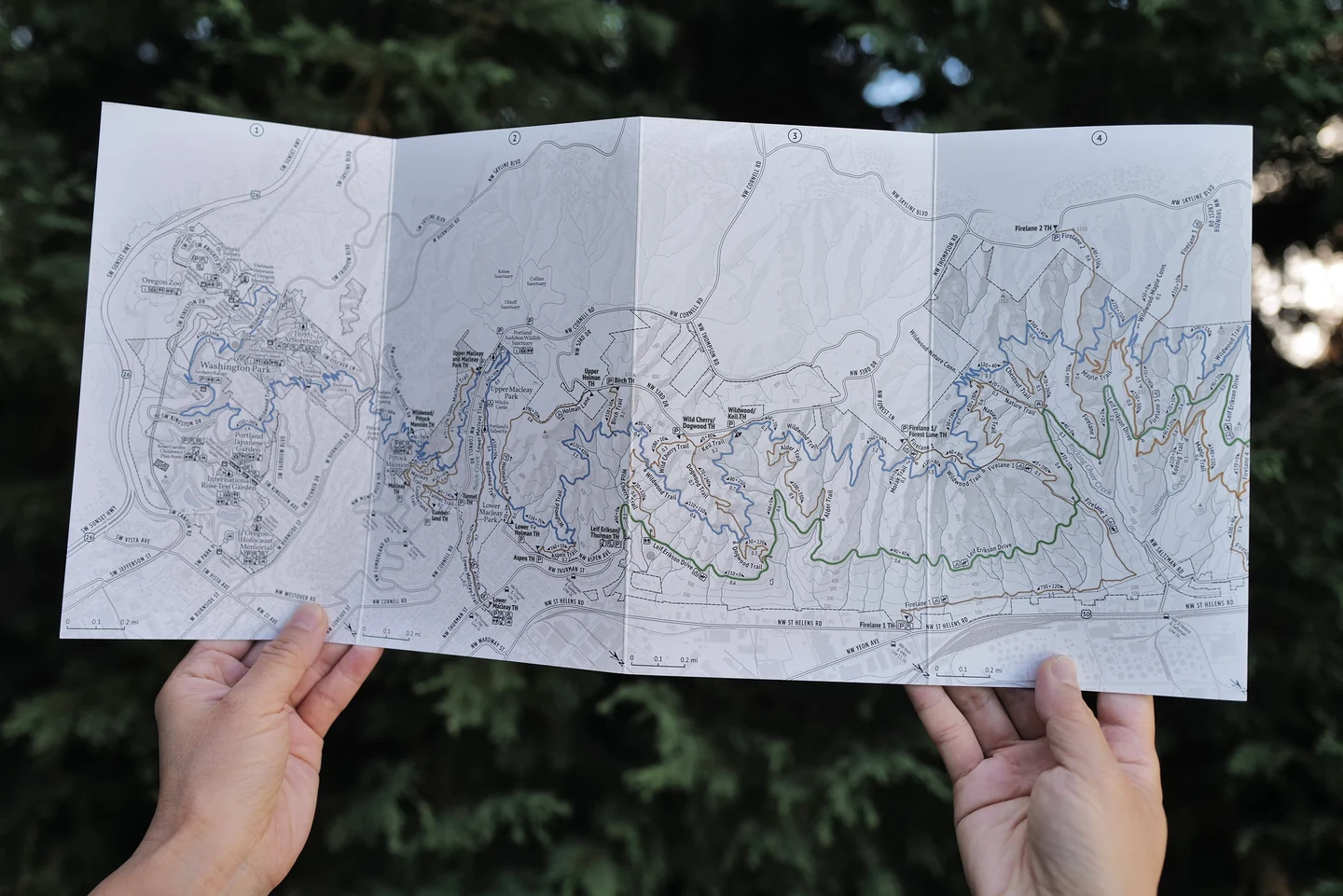
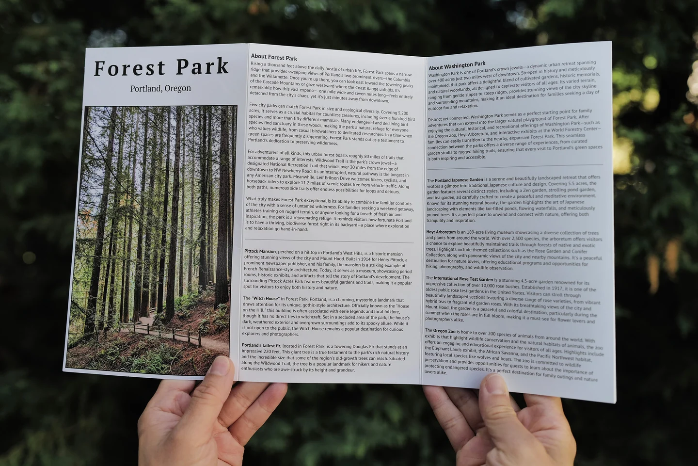
The wall map keeps the whole park in view at home. Fold this one into a pocket to check trail names, follow connections, and choose what comes next under the trees.
Want a field copy for the trail? View the Pocket Adventure Map →