Fouragers Forest Park Field Guide

Trail kit

Loading cart…

Add a map

Forest Park maps

See the park, not just the trail. Drawn specifically for Forest Park, these maps keep its trails, terrain, distances, trailheads, and connections visible together—revealing how the park fits together and where to explore next.

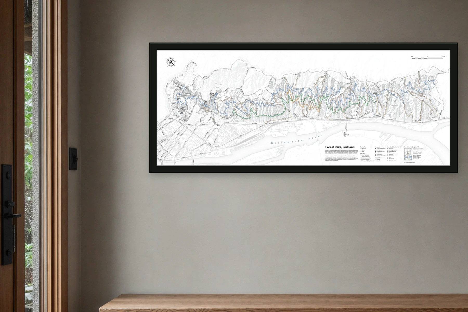
Forest Park wall map in a slim dark frame above an entry bench, with wet greenery visible through the doorway

At home

Forest Park Wall Map

Forest Park’s connected trail network in one wall-scale view, with route distances, elevation, trailheads, parking, access, and amenities for choosing the next walk.

Wall-scale
42 × 17 in
Fine-art stock
250 gsm cotton rag
Frame your way
Unframed · rolled
Explore the wall map →
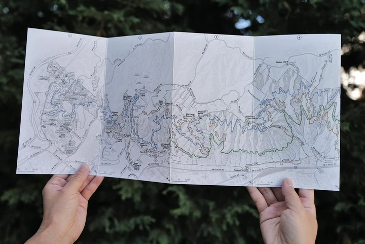
Two hands hold the Pocket Adventure Map fully unfolded in front of Forest Park greenery.

On the trail

Forest Park Pocket Map

An eight-panel accordion field map for the walk itself: a continuous topographic trail map from Washington Park through Forest Park, with a trail index and park notes on the reverse.

Accordion fold
Eight panels
Coverage
Washington + Forest Park
Reverse
Trail index + field notes
Explore the pocket map →